Pro-tip: to easily find back your maps,
create an account
or
log in
.
Here is your secret link to edit the map, please keep it safe:
Enter your email address to receive the secret link:
Pro-tip: to easily find back your maps,
create an account
or
log in
.
Here is your secret link to edit the map, please keep it safe:
Enter your email address to receive the secret link:
See their edits in another tab
See their edits in another tab
+
−
Search location
km
mi
NM
OSM-Fr
OSM Positron (Carto)
OpenStreetMap
OSM Humanitarian (OSM-FR)
OSM Dark Matter (Carto)
CyclOSM
OSM Deutschland (OSM-DE)
OSM OpenTopoMap
Jawg Terrain
+
500 m
2000 ft
Map tiles by
CartoDB
, under
CC BY 3.0
. map data ©
OpenStreetMap contributors
under ODbL
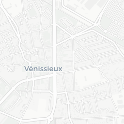
— Ville de Vénissieux
— Open caption
— Home
— Powered by uMap
Faune observée à Vénissieux
by
ServiceEnvironnement-VilledeVnissieux
Open caption
Browse data
Filter data
Quartiers
Concentration des observations
Minguettes
Grandes terres
Centre-charréard
Moulin à vent
Parilly